
Loudoun County topographic map
Interactive map
Click on the map to display elevation.
About this map
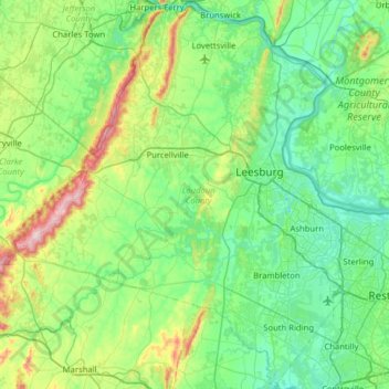
Name: Loudoun County topographic map, elevation, terrain.
Location: Loudoun County, Virginia, United States of America (38.84625 -77.96216 39.32444 -77.32817)
Average elevation: 150 m
Minimum elevation: 41 m
Maximum elevation: 577 m
Other topographic maps
Click on a map to view its topography, its elevation and its terrain.