
Clane topographic map
Interactive map
Click on the map to display elevation.
About this map
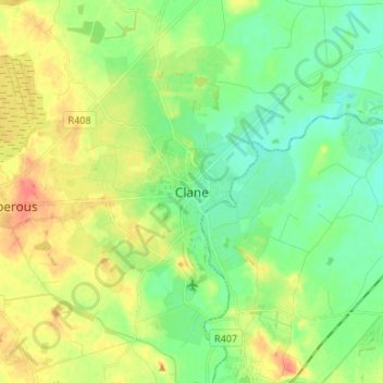
Name: Clane topographic map, elevation, terrain.
Location: Clane, County Kildare, Leinster, Ireland (53.25118 -6.72611 53.33118 -6.64611)
Average elevation: 78 m
Minimum elevation: 59 m
Maximum elevation: 106 m