
Dunmanway topographic map
Interactive map
Click on the map to display elevation.
About this map
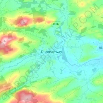
Name: Dunmanway topographic map, elevation, terrain.
Location: Dunmanway, County Cork, Munster, Ireland (51.68020 -9.15269 51.76020 -9.07269)
Average elevation: 115 m
Minimum elevation: 49 m
Maximum elevation: 307 m