
The Leap topographic map
Interactive map
Click on the map to display elevation.
About this map
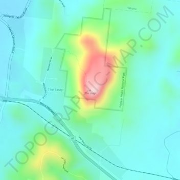
Name: The Leap topographic map, elevation, terrain.
Location: The Leap, Mackay, Queensland, Australia (-21.06800 149.02361 -21.06790 149.02371)
Average elevation: 88 m
Minimum elevation: 21 m
Maximum elevation: 287 m
Other topographic maps
Click on a map to view its topography, its elevation and its terrain.
Mount Hector
Australia > Queensland > Mackay
Mount Hector, Mackay, Queensland, Australia
Average elevation: 3 m