
Kerr County topographic map
Interactive map
Click on the map to display elevation.
About this map
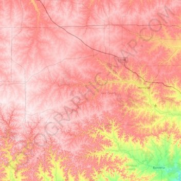
Name: Kerr County topographic map, elevation, terrain.
Location: Kerr County, Texas, United States of America (29.78140 -99.75761 30.29064 -98.91769)
Average elevation: 607 m
Minimum elevation: 339 m
Maximum elevation: 738 m
Other topographic maps
Click on a map to view its topography, its elevation and its terrain.