
Aran Islands topographic map
Interactive map
Click on the map to display elevation.
About this map
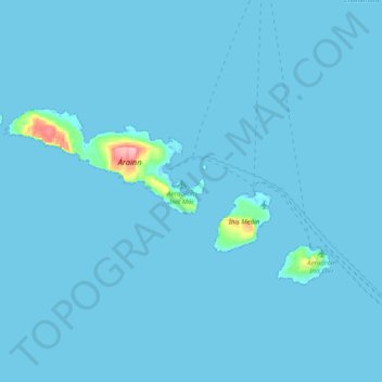
Name: Aran Islands topographic map, elevation, terrain.
Location: Aran Islands, County Galway, Connacht, Ireland (53.03838 -9.87347 53.16577 -9.48483)
Average elevation: 2 m
Minimum elevation: -3 m
Maximum elevation: 119 m
County Galway trails, hiking, mountain biking, running and outdoor activities
Other topographic maps
Click on a map to view its topography, its elevation and its terrain.