
Staddon Fort Tower topographic map
Interactive map
Click on the map to display elevation.
About this map
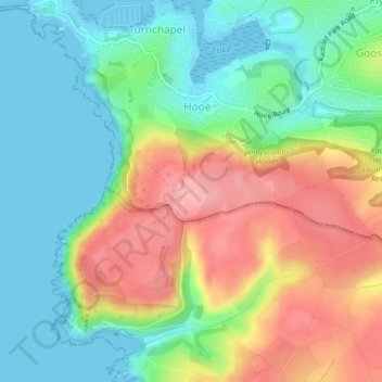
Name: Staddon Fort Tower topographic map, elevation, terrain.
Average elevation: 48 m
Minimum elevation: 0 m
Maximum elevation: 120 m
Other topographic maps
Click on a map to view its topography, its elevation and its terrain.
Plymouth
United Kingdom > England > Plymouth
Plymouth, South West England, England, PL1 1HH, United Kingdom
Average elevation: 81 m