
Bardhaman topographic map
Interactive map
Click on the map to display elevation.
About this map
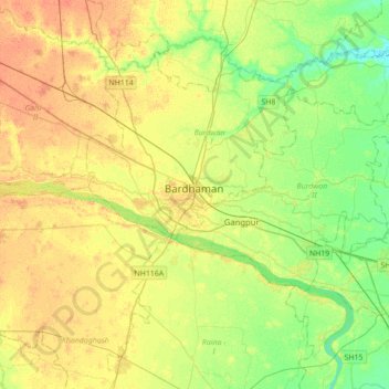
Name: Bardhaman topographic map, elevation, terrain.
Average elevation: 30 m
Minimum elevation: 14 m
Maximum elevation: 45 m
The region has an average elevation of 40 metres (131 ft). The city is situated 1100 km from New Delhi and a little less than 100 km north-west of Kolkata on the Grand Trunk Road (National Highway 19) and Eastern Railway. The chief rivers are the Damodar and the Banka.