
Magden topographic map
Interactive map
Click on the map to display elevation.
About this map
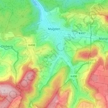
Name: Magden topographic map, elevation, terrain.
Location: Magden, Bezirk Rheinfelden, Aargau, 4312, Switzerland (47.49676 7.78308 47.53989 7.83529)
Average elevation: 442 m
Minimum elevation: 306 m
Maximum elevation: 631 m