
Stoneville topographic map
Interactive map
Click on the map to display elevation.
About this map
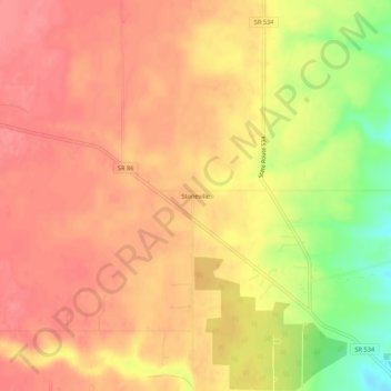
Name: Stoneville topographic map, elevation, terrain.
Location: Stoneville, Ashtabula County, Ohio, USA (41.53644 -80.98259 41.57644 -80.94259)
Average elevation: 309 m
Minimum elevation: 257 m
Maximum elevation: 331 m