
Herve topographic map
Interactive map
Click on the map to display elevation.
About this map
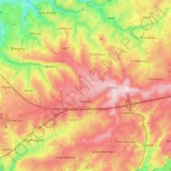
Name: Herve topographic map, elevation, terrain.
Location: Herve, Verviers, Liège, Wallonia, 4650, Belgium (50.59502 5.72999 50.70320 5.86073)
Average elevation: 238 m
Minimum elevation: 109 m
Maximum elevation: 335 m