
Martin County topographic map
Interactive map
Click on the map to display elevation.
About this map
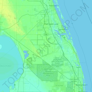
Name: Martin County topographic map, elevation, terrain.
Location: Martin County, Florida, USA (26.95632 -80.88564 27.26385 -80.02275)
Average elevation: 6 m
Minimum elevation: -3 m
Maximum elevation: 57 m