
Arumeru topographic map
Interactive map
Click on the map to display elevation.
About this map
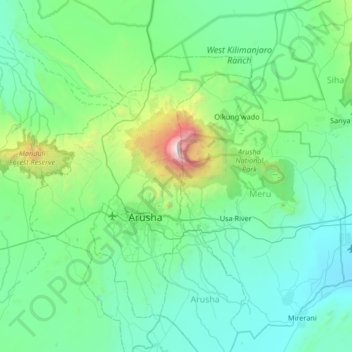
Name: Arumeru topographic map, elevation, terrain.
Location: Arumeru, Arusha, Northern Zone, Tanzânia (-3.62276 36.44808 -2.96171 37.11119)
Average elevation: 1,369 m
Minimum elevation: 872 m
Maximum elevation: 4,506 m