
Bahu topographic map
Interactive map
Click on the map to display elevation.
About this map
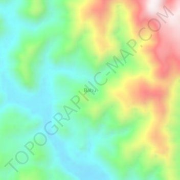
Name: Bahu topographic map, elevation, terrain.
Location: Bahu, Sula Islands, North Maluku, Indonesia (-1.91781 124.59850 -1.87781 124.63850)
Average elevation: 320 m
Minimum elevation: 39 m
Maximum elevation: 831 m