
Muara Joloi I topographic map
Interactive map
Click on the map to display elevation.
About this map
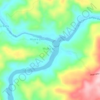
Name: Muara Joloi I topographic map, elevation, terrain.
Location: Muara Joloi I, Central Kalimantan, Indonesia (-0.14084 114.07976 -0.10084 114.11976)
Average elevation: 142 m
Minimum elevation: 65 m
Maximum elevation: 291 m