

Santa Clara topographic map
Click on the map to display elevation.
Santa Clara
In 1905, the first public high-altitude flights by humans were made over Santa Clara in gliders designed by John J. Montgomery. The semiconductor industry, which sprouted around 1960, changed the city and surrounding Valley of Heart's Delight; little of its agricultural past remains.
About this map
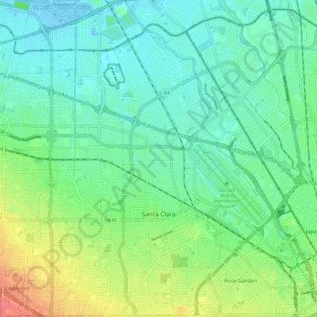
Name: Santa Clara topographic map, elevation, terrain.
Location: Santa Clara, Santa Clara County, United States (37.32300 -122.00485 37.41853 -121.92970)
Average elevation: 18 m
Minimum elevation: -5 m
Maximum elevation: 62 m