
Pasadena topographic map
Click on the map to display elevation.
Pasadena
A portion of the Angeles Crest Highway (SR 2) in the San Gabriel Mountains cuts through Pasadena near the Angeles Crest Ranger Station. This 2-mile (3.2 km) stretch of highway in the Angeles National Forest is north of La Cañada Flintridge and west of Mount Wilson and is approximately 3,000 feet (910 m) in elevation.
About this map
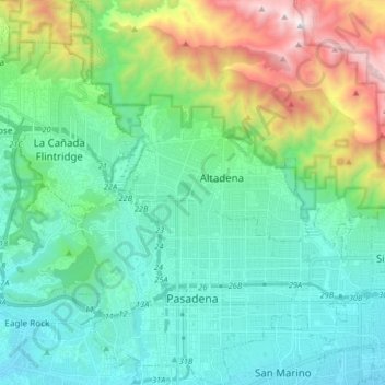
Name: Pasadena topographic map, elevation, terrain.
Location: Pasadena, Los Angeles County, California, United States (34.11720 -118.19824 34.25156 -118.06560)
Average elevation: 548 m
Minimum elevation: 142 m
Maximum elevation: 1,848 m