
Make a donation
Gear up for your next adventure:
As an Amazon Associate, this site earns from qualifying purchases at no extra cost to you.
Greven topographic map
Click on the map to display elevation.
Make a donation
Gear up for your next adventure:
As an Amazon Associate, this site earns from qualifying purchases at no extra cost to you.
About this map
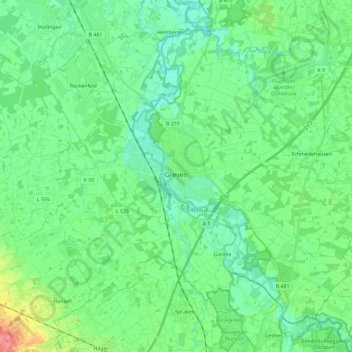
Name: Greven topographic map, elevation, terrain.
Location: Greven, Kreis Steinfurt, North Rhine-Westphalia, 48268, Germany (52.03256 7.52346 52.15175 7.75559)
Average elevation: 49 m
Minimum elevation: 32 m
Maximum elevation: 99 m
Make a donation
Gear up for your next adventure:
As an Amazon Associate, this site earns from qualifying purchases at no extra cost to you.
Other topographic maps
Click on a map to view its topography, its elevation and its terrain.
Dorfbauernschaft
Germany > North Rhine-Westphalia > Kreis Steinfurt > Emsdetten
Average elevation: 46 m
Lengerich
Germany > North Rhine-Westphalia > Kreis Steinfurt > Lengerich > Lengerich
Average elevation: 91 m