Geolocate

Buck topographic map

Click on the map to display elevation.

About this map

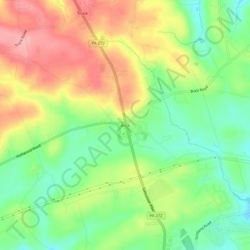
Name: Buck topographic map, elevation, terrain.

Location: Buck, Lancaster County, Pennsylvania, 17531, United States (39.85217 -76.24878 39.89217 -76.20878)

Average elevation: 219 m

Minimum elevation: 164 m

Maximum elevation: 283 m

Gear up for your next adventure:

🧦Merino Wool Socks - Moisture-wicking and blister-preventing trail socks
🧶Camping String Lights - Ambience and utility lighting
🦺Outdoor Safety Vests - Increase visibility and safety
🧥Waterproof Hiking Jackets - Rain jackets for unpredictable weather
🛠️Tent Repair Kits - Fix tents on the trail

As an Amazon Associate, this site earns from qualifying purchases at no extra cost to you.