
Guiyang topographic map
Interactive map
Click on the map to display elevation.
About this map
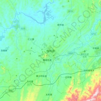
Name: Guiyang topographic map, elevation, terrain.
Location: Guiyang, Guiyang County, Chenzhou, Hunan, 424400, China (25.59616 112.56964 25.91616 112.88964)
Average elevation: 302 m
Minimum elevation: 121 m
Maximum elevation: 1,306 m