
East (Andrews) Park topographic map
Interactive map
Click on the map to display elevation.
About this map
Name: East (Andrews) Park topographic map, elevation, terrain.
Average elevation: 9 m
Minimum elevation: -2 m
Maximum elevation: 32 m
Other topographic maps
Click on a map to view its topography, its elevation and its terrain.
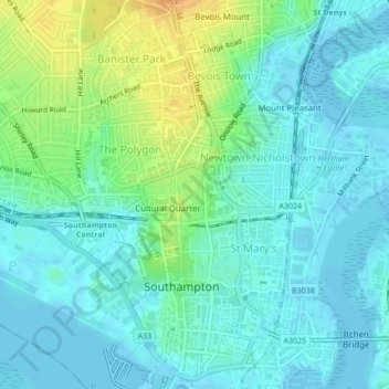
Southampton
United Kingdom > England > Southampton
Southampton, South East England, England, SO14 2BY, United Kingdom
Average elevation: 38 m