
Thank you for supporting this site ❤️
Make a donation
Make a donation
Gear up for your next adventure:
As an Amazon Associate, this site earns from qualifying purchases at no extra cost to you.
Shirakawa topographic map
Click on the map to display elevation.
Thank you for supporting this site ❤️
Make a donation
Make a donation
Gear up for your next adventure:
As an Amazon Associate, this site earns from qualifying purchases at no extra cost to you.
About this map
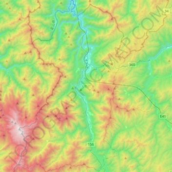
Name: Shirakawa topographic map, elevation, terrain.
Location: Shirakawa, Ono County, Gifu Prefecture, Chubu Region, Japan (36.09301 136.76495 36.36755 136.97553)
Average elevation: 1,207 m
Minimum elevation: 347 m
Maximum elevation: 2,691 m
Thank you for supporting this site ❤️
Make a donation
Make a donation
Gear up for your next adventure:
As an Amazon Associate, this site earns from qualifying purchases at no extra cost to you.