
San Pedro Sula topographic map
Interactive map
Click on the map to display elevation.
About this map
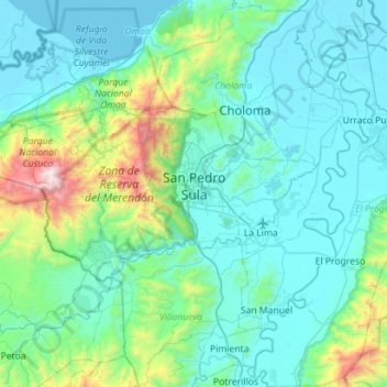
Name: San Pedro Sula topographic map, elevation, terrain.
Location: San Pedro Sula, Cortés, Honduras (15.37245 -88.41073 15.61681 -87.84638)
Average elevation: 303 m
Minimum elevation: 0 m
Maximum elevation: 2,211 m