Geolocate

Moro Nero topographic map

Click on the map to display elevation.

About this map
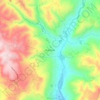
Name: Moro Nero topographic map, elevation, terrain.

Location: Moro Nero, Kallepeia, Paphos District, Cyprus, 8541, Cyprus (34.79479 32.50442 34.83479 32.54442)

Average elevation: 336 m

Minimum elevation: 133 m

Maximum elevation: 568 m

Gear up for your next adventure:

🪶Ultralight Tents - Lightweight shelters for hikers
🎒Waterproof Backpacks - Protect your gear from rain on Irish hikes
🔥Compact Camping Stoves - Fast-boil stoves for trail-side meals and coffee
🔋Portable Power Banks - Keep devices charged on long trips
🕶️Polarized Sunglasses - Reduce glare outdoors

As an Amazon Associate, this site earns from qualifying purchases at no extra cost to you.