
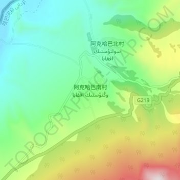
阿克哈巴南村 topographic map
Interactive map
Click on the map to display elevation.
About this map
Name: 阿克哈巴南村 topographic map, elevation, terrain.
Location: 阿克哈巴南村, 铁热克提乡, 哈巴河县, 阿勒泰地区, 新疆维吾尔自治区, 中国 (48.66722 86.75811 48.70722 86.79811)
Average elevation: 1,360 m
Minimum elevation: 1,108 m
Maximum elevation: 1,891 m