
Thank you for supporting this site ❤️
Make a donation
Make a donation
Gear up for your next adventure:
As an Amazon Associate, this site earns from qualifying purchases at no extra cost to you.
Mahlwinkel topographic map
Click on the map to display elevation.
Thank you for supporting this site ❤️
Make a donation
Make a donation
Gear up for your next adventure:
As an Amazon Associate, this site earns from qualifying purchases at no extra cost to you.
About this map
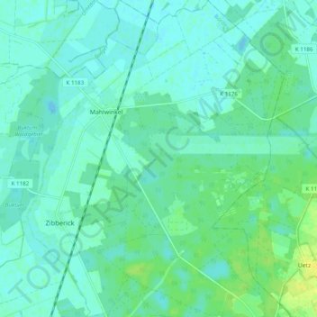
Name: Mahlwinkel topographic map, elevation, terrain.
Location: Mahlwinkel, Angern, Elbe-Heide, Börde, Saxony-Anhalt, Germany (52.35574 11.76109 52.41505 11.84049)
Average elevation: 42 m
Minimum elevation: 37 m
Maximum elevation: 54 m
Thank you for supporting this site ❤️
Make a donation
Make a donation
Gear up for your next adventure:
As an Amazon Associate, this site earns from qualifying purchases at no extra cost to you.