Geolocate

Stanton topographic map

Click on the map to display elevation.

About this map
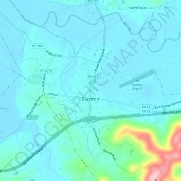
Name: Stanton topographic map, elevation, terrain.

Location: Stanton, Powell County, Kentucky, United States (37.83285 -83.87717 37.86195 -83.82824)

Average elevation: 215 m

Minimum elevation: 189 m

Maximum elevation: 384 m

Gear up for your next adventure:

🔦LED Flashlights - Bright, durable flashlights for outdoor use
👖Zip-off Hiking Pants - Adapt to changing Irish temperatures quickly
🪢Paracord & Ropes - Strong ropes for camping and gear
🥾Men's Waterproof Boots - Sturdy footwear for wet and boggy Irish terrain
🧊Hydration Reservoirs - Easy drinking on the move with 2L or 3L bladders

As an Amazon Associate, this site earns from qualifying purchases at no extra cost to you.