
Rágama topographic map
Interactive map
Click on the map to display elevation.
About this map
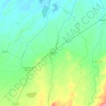
Name: Rágama topographic map, elevation, terrain.
Location: Rágama, Salamanca, Castile and León, Spain (40.95412 -5.16539 41.03941 -5.08984)
Average elevation: 845 m
Minimum elevation: 815 m
Maximum elevation: 917 m