
Černostes ezers topographic map
Interactive map
Click on the map to display elevation.
About this map
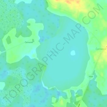
Name: Černostes ezers topographic map, elevation, terrain.
Location: Černostes ezers, Černoste, Rēzeknes novads, Latgale, Latvia (56.27345 27.12727 56.29241 27.15202)
Average elevation: 165 m
Minimum elevation: 156 m
Maximum elevation: 187 m