
Vâlcănești topographic map
Interactive map
Click on the map to display elevation.
About this map
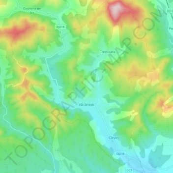
Name: Vâlcănești topographic map, elevation, terrain.
Location: Vâlcănești, Prahova, Romania (45.09213 25.88910 45.16397 25.97409)
Average elevation: 368 m
Minimum elevation: 244 m
Maximum elevation: 655 m
Other topographic maps
Click on a map to view its topography, its elevation and its terrain.