
Thank you for supporting this site ❤️
Make a donation
Make a donation
Gear up for your next adventure:
As an Amazon Associate, this site earns from qualifying purchases at no extra cost to you.
Oranienbaum-Wörlitz topographic map
Click on the map to display elevation.
Thank you for supporting this site ❤️
Make a donation
Make a donation
Gear up for your next adventure:
As an Amazon Associate, this site earns from qualifying purchases at no extra cost to you.
About this map
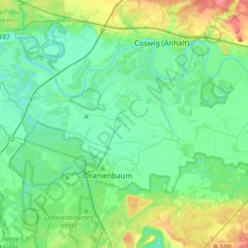
Name: Oranienbaum-Wörlitz topographic map, elevation, terrain.
Location: Oranienbaum-Wörlitz, Wittenberg, Saxony-Anhalt, Germany (51.77463 12.28477 51.88497 12.53293)
Average elevation: 70 m
Minimum elevation: 53 m
Maximum elevation: 122 m
Thank you for supporting this site ❤️
Make a donation
Make a donation
Gear up for your next adventure:
As an Amazon Associate, this site earns from qualifying purchases at no extra cost to you.