Geolocate

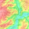
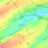
Kettering topographic map

Click on the map to display elevation.

About this map
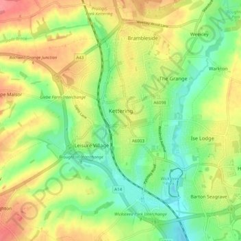
Name: Kettering topographic map, elevation, terrain.

Location: Kettering, North Northamptonshire, England, United Kingdom (52.37198 -0.75438 52.42193 -0.65740)

Average elevation: 88 m

Minimum elevation: 52 m

Maximum elevation: 130 m

Other topographic maps

Click on a map to view its topography, its elevation and its terrain.

Slade

United Kingdom > England > North Northamptonshire > Orton

Average elevation: 123 m

Corby

United Kingdom > England > North Northamptonshire

Average elevation: 103 m

Corby

United Kingdom > England > North Northamptonshire

Average elevation: 103 m

Corby

United Kingdom > England > North Northamptonshire

Average elevation: 103 m

Corby

United Kingdom > England > North Northamptonshire

Average elevation: 103 m

Gear up for your next adventure:

🎒Surveyor High-Vis Vests - Multi-pocket safety vests for field professionals
🧊Winter Boot Traction - Grip for icy paths in the Mourne or Derryveagh mountains
⛺Ultralight Hiking Tents - Compact shelters for multi-day wild camping in Ireland
🥣Outdoor Food & Meals - Dehydrated meals for backpacking
💳Travel Cards for Ireland - Convenient payment abroad

As an Amazon Associate, this site earns from qualifying purchases at no extra cost to you.