
Serres topographic map
Interactive map
Click on the map to display elevation.
About this map
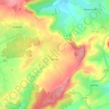
Name: Serres topographic map, elevation, terrain.
Average elevation: 272 m
Minimum elevation: 216 m
Maximum elevation: 328 m
Other topographic maps
Click on a map to view its topography, its elevation and its terrain.
Maxéville
France > Grand Est > Meurthe-et-Moselle
Maxéville, Nancy, Meurthe-et-Moselle, Grand Est, Metropolitan France, 54320, France
Average elevation: 263 m