
Reading topographic map
Click on the map to display elevation.
Reading
Jane Austen attended Reading Ladies Boarding School, based in the Abbey Gateway, in 1784–1786. Mary Russell Mitford lived in Reading for a number of years and then spent the rest of her life just outside the town at Three Mile Cross and Swallowfield. The fictional Belford Regis of her eponymous novel, first published in 1835, is largely based on Reading. Described with topographical accuracy, it is still possible to follow the steps of the novel's characters in present-day Reading. Reading also appears in the works of Thomas Hardy where it is called 'Aldbrickham'. It features most heavily in his final novel, Jude the Obscure, as the temporary home of Jude Fawley and Sue Bridehead.
About this map
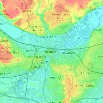
Name: Reading topographic map, elevation, terrain.
Average elevation: 56 m
Minimum elevation: 32 m
Maximum elevation: 110 m