
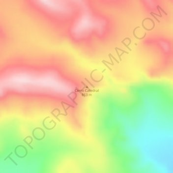
Cerro Catedral topographic map
Interactive map
Click on the map to display elevation.
About this map
Name: Cerro Catedral topographic map, elevation, terrain.
Location: Cerro Catedral, Lago Argentino, SC, Argentina (-50.06932 -71.15544 -50.06922 -71.15534)
Average elevation: 829 m
Minimum elevation: 678 m
Maximum elevation: 936 m
Other topographic maps
Click on a map to view its topography, its elevation and its terrain.
San Martín
Argentina > SC > Río Gallegos
San Martín, Río Gallegos, Güer Aike, SC, Argentina
Average elevation: 14 m