Geolocate

Kempston topographic map

Click on the map to display elevation.

About this map

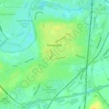
Name: Kempston topographic map, elevation, terrain.

Location: Kempston, Bedford, England, United Kingdom (52.10275 -0.52187 52.13085 -0.47724)

Average elevation: 33 m

Minimum elevation: 23 m

Maximum elevation: 48 m

Gear up for your next adventure:

🌍Travel Adapters - Adapters for international travel
Solar Multisport Watches - Advanced mapping and GPS tracking for endurance hikers
🔪Multi‑Tools & Knives - Versatile tools for outdoor tasks
📖Outdoor Guide Books - Expert guides for Irish nature
🏃‍♀️Running Hydration Belts - Hydration on the go for runners

As an Amazon Associate, this site earns from qualifying purchases at no extra cost to you.