
Thank you for supporting this site ❤️
Make a donation
Make a donation
Gear up for your next adventure:
As an Amazon Associate, this site earns from qualifying purchases at no extra cost to you.
Meerbusch topographic map
Click on the map to display elevation.
Thank you for supporting this site ❤️
Make a donation
Make a donation
Gear up for your next adventure:
As an Amazon Associate, this site earns from qualifying purchases at no extra cost to you.
About this map
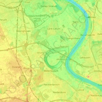
Name: Meerbusch topographic map, elevation, terrain.
Location: Meerbusch, Rhein-Kreis Neuss, North Rhine-Westphalia, Germany (51.23360 6.58512 51.33674 6.73475)
Average elevation: 36 m
Minimum elevation: 17 m
Maximum elevation: 51 m
Thank you for supporting this site ❤️
Make a donation
Make a donation
Gear up for your next adventure:
As an Amazon Associate, this site earns from qualifying purchases at no extra cost to you.
Other topographic maps
Click on a map to view its topography, its elevation and its terrain.
Korschenbroich
Germany > North Rhine-Westphalia > Rhein-Kreis Neuss > Korschenbroich > Korschenbroich
Average elevation: 46 m