
Thank you for supporting this site ❤️
Make a donation
Make a donation
Gear up for your next adventure:
As an Amazon Associate, this site earns from qualifying purchases at no extra cost to you.
Dereiçi topographic map
Click on the map to display elevation.
Thank you for supporting this site ❤️
Make a donation
Make a donation
Gear up for your next adventure:
As an Amazon Associate, this site earns from qualifying purchases at no extra cost to you.
About this map
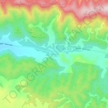
Name: Dereiçi topographic map, elevation, terrain.
Location: Dereiçi, Savur, Mardin, Southeastern Anatolia Region, Turkey (37.52815 40.94052 37.56815 40.98052)
Average elevation: 1,069 m
Minimum elevation: 880 m
Maximum elevation: 1,377 m
Thank you for supporting this site ❤️
Make a donation
Make a donation
Gear up for your next adventure:
As an Amazon Associate, this site earns from qualifying purchases at no extra cost to you.