
Åland Islands topographic map
Interactive map
Click on the map to display elevation.
About this map
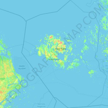
Name: Åland Islands topographic map, elevation, terrain.
Location: Åland Islands, Finland (59.45416 19.08320 60.87665 21.34565)
Average elevation: 2 m
Minimum elevation: -4 m
Maximum elevation: 118 m
Other topographic maps
Click on a map to view its topography, its elevation and its terrain.