
Cergău topographic map
Interactive map
Click on the map to display elevation.
About this map
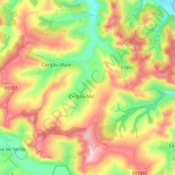
Name: Cergău topographic map, elevation, terrain.
Location: Cergău, Alba, Romania (46.04854 23.88576 46.12587 24.01029)
Average elevation: 367 m
Minimum elevation: 256 m
Maximum elevation: 493 m
Other topographic maps
Click on a map to view its topography, its elevation and its terrain.