
Thank you for supporting this site ❤️
Make a donation
Make a donation
Gear up for your next adventure:
As an Amazon Associate, this site earns from qualifying purchases at no extra cost to you.
Avonlea topographic map
Click on the map to display elevation.
Thank you for supporting this site ❤️
Make a donation
Make a donation
Gear up for your next adventure:
As an Amazon Associate, this site earns from qualifying purchases at no extra cost to you.
About this map
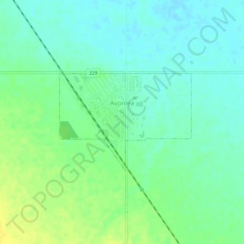
Name: Avonlea topographic map, elevation, terrain.
Location: Avonlea, Division No. 2, Saskatchewan, S0H 0C0, Canada (50.00705 -105.06644 50.01789 -105.04369)
Average elevation: 600 m
Minimum elevation: 592 m
Maximum elevation: 612 m
Thank you for supporting this site ❤️
Make a donation
Make a donation
Gear up for your next adventure:
As an Amazon Associate, this site earns from qualifying purchases at no extra cost to you.