
Le Mans topographic map
Interactive map
Click on the map to display elevation.
About this map
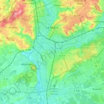
Name: Le Mans topographic map, elevation, terrain.
Location: Le Mans, Sarthe, Pays de la Loire, Metropolitan France, France (47.92798 0.13628 48.03587 0.25509)
Average elevation: 67 m
Minimum elevation: 36 m
Maximum elevation: 141 m