
Büttelborn topographic map
Interactive map
Click on the map to display elevation.
About this map
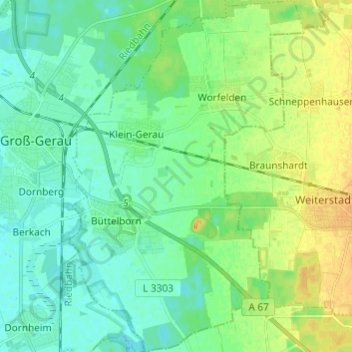
Name: Büttelborn topographic map, elevation, terrain.
Location: Büttelborn, Kreis Groß-Gerau, Hesse, 64572, Germany (49.87244 8.49622 49.95043 8.57746)
Average elevation: 96 m
Minimum elevation: 86 m
Maximum elevation: 114 m