Geolocate

Bullard topographic map

Click on the map to display elevation.

About this map

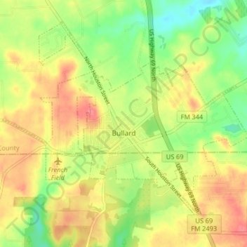
Name: Bullard topographic map, elevation, terrain.

Location: Bullard, Smith County, Texas, United States (32.11965 -95.35435 32.16512 -95.28931)

Average elevation: 153 m

Minimum elevation: 118 m

Maximum elevation: 184 m

Gear up for your next adventure:

🧯Portable Extinguishers - Safety tools for campfires
🔋Rechargeable Batteries - Eco-friendly power for headlamps and GPS units
🧴Hiking Sunscreen - Sun protection for long exposure
🏃‍♀️Running Hydration Belts - Hydration on the go for runners
🛰️Handheld GPS Units - Professional satellite navigation for Irish highlands

As an Amazon Associate, this site earns from qualifying purchases at no extra cost to you.