Geolocate

Risca topographic map

Click on the map to display elevation.

About this map

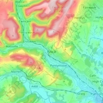
Name: Risca topographic map, elevation, terrain.

Location: Risca, Caerphilly County Borough, Wales, NP11 6GA, United Kingdom (51.57195 -3.13648 51.65195 -3.05648)

Average elevation: 153 m

Minimum elevation: 17 m

Maximum elevation: 417 m

Other topographic maps

Click on a map to view its topography, its elevation and its terrain.

Van

United Kingdom > Wales > Caerphilly County Borough

Average elevation: 96 m

Gear up for your next adventure:

🔌Fast Car Chargers - Recharge GPS and phones between trailheads
🌂Windproof Trekking Umbrellas - Protection during vertical Irish rain
📱Rugged Smartphones - Waterproof phones with long battery for offline mapping
🔦Everyday Carry Torches - Reliable backup light for your hiking pack
🪑Compact Camp Chairs - Comfortable seating after a long day of mapping

As an Amazon Associate, this site earns from qualifying purchases at no extra cost to you.