
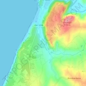
Ruínas do Convento de Penafirme topographic map
Interactive map
Click on the map to display elevation.
About this map
Name: Ruínas do Convento de Penafirme topographic map, elevation, terrain.
Average elevation: 34 m
Minimum elevation: 0 m
Maximum elevation: 109 m