
Make a donation
Gear up for your next adventure:
As an Amazon Associate, this site earns from qualifying purchases at no extra cost to you.
Kempen topographic map
Click on the map to display elevation.
Make a donation
Gear up for your next adventure:
As an Amazon Associate, this site earns from qualifying purchases at no extra cost to you.
About this map
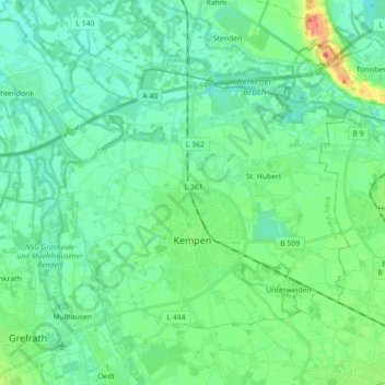
Name: Kempen topographic map, elevation, terrain.
Location: Kempen, Kreis Viersen, North Rhine-Westphalia, 47906, Germany (51.33057 6.35841 51.42502 6.53557)
Average elevation: 35 m
Minimum elevation: 24 m
Maximum elevation: 68 m
Make a donation
Gear up for your next adventure:
As an Amazon Associate, this site earns from qualifying purchases at no extra cost to you.
Other topographic maps
Click on a map to view its topography, its elevation and its terrain.
Leuth
Germany > North Rhine-Westphalia > Kreis Viersen > Region Kempen-Viersen
Average elevation: 43 m
Make a donation
Gear up for your next adventure:
As an Amazon Associate, this site earns from qualifying purchases at no extra cost to you.
Krinsend
Germany > North Rhine-Westphalia > Kreis Viersen > Schwalmtal > Waldniel
Average elevation: 61 m