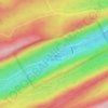
State College topographic map
Click on the map to display elevation.
State College
Weather in State College is strongly influenced by the mountain and valley topology of the area. The surrounding mountains cause significantly lower temperatures in the winter, and make summer heat waves much rarer than in the rest of the state. Precipitation is about 20% lower than areas at comparable elevations, again due to the surrounding mountains. Snowfall typically occurs between October and April, but has happened as late as June.
About this map
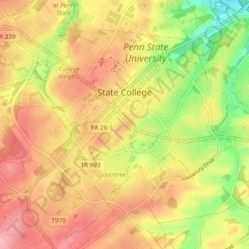
Name: State College topographic map, elevation, terrain.
Location: State College, Centre County, Pennsylvania, United States (40.76837 -77.88617 40.80723 -77.81900)
Average elevation: 351 m
Minimum elevation: 286 m
Maximum elevation: 398 m
Other topographic maps
Click on a map to view its topography, its elevation and its terrain.


Dalevue Park
United States > Pennsylvania > Centre County > State College > Dalevue
Average elevation: 331 m

Loch Lomond Junction
United States > Pennsylvania > Centre County > Rush Township
Average elevation: 460 m