
Midland topographic map
Interactive map
Click on the map to display elevation.
About this map
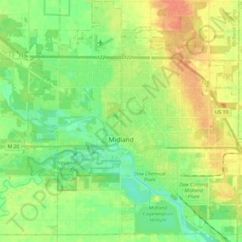
Name: Midland topographic map, elevation, terrain.
Location: Midland, Midland County, Michigan, USA (43.56528 -84.31848 43.68369 -84.15392)
Average elevation: 194 m
Minimum elevation: 178 m
Maximum elevation: 213 m